_svg.png)

"California Emigrant Trail"
Expect the Unexpected
Most people who enter Nevada do so by way of the interstate, and except for the mandatory pit stop, or a quick bite to eat, few people if ever retreat away from it.
To many, Interstate 80 IS Nevada, with "nothing" in between Reno and Salt Lake City.
To all but a relatively few people, Interstate 80 traverses a rather staid, monotonous route across the state. Yes, the 80 lacks the exciting roller-coasting mountain crossings of other less-traveled routes. It's an interstate, designed to get from Point A to Point B as quickly as possible. So then, how does one enjoy a route that is designed to bypass everything of interest?
Ready?

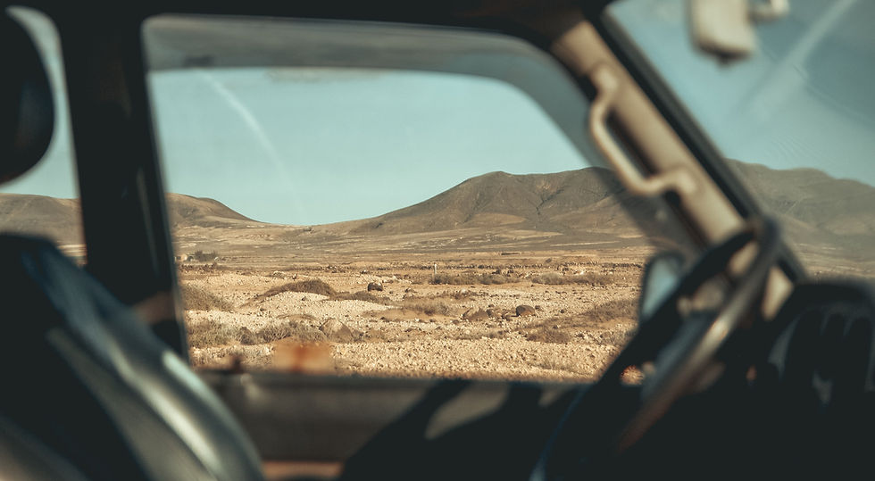
Windshield Overview
.png)
418 miles
2 Detours
Recommended 4-5 days
Begin: Verdi, Nevada
End: Wendover, Utah.
Driving Time: 5 hours, 51 minutes
Counties: Sierra (CA), Washoe, Storey, Lyon, Churchill, Pershing, Humboldt, Lander, Eureka, Elko, Tooele (UT)
COMMUNITIES ON THIS TRIP
Verdi, Reno, North Valleys, Sparks, Wadsworth, Fernley, Lovelock,
Imlay-Mill City, Unionville, Winnemucca, Golconda, Midas, Tuscarora,
Battle Mountain, Carlin, Elko, Lamoille, Tuscarora, Mountain City,
Owyhee, Jarbidge, Murphy's Hot Springs (ID), Rogerson (ID), Wells,
Montello, West Wendover, Wendover (UT)
HISTORIC MARKERS ON THIS TRIP (with detours): 50
_map_svg.png)
Trip Highlights
.png)
Detours
.png)
Old US 40:
Through Reno & Sparks metro
Total Mileage: 28.9
State Route 447:
Wadsworth to Pyramid Lake
Total Mileage: 66.3
State Route 225, 226 to Elko County Route 208:
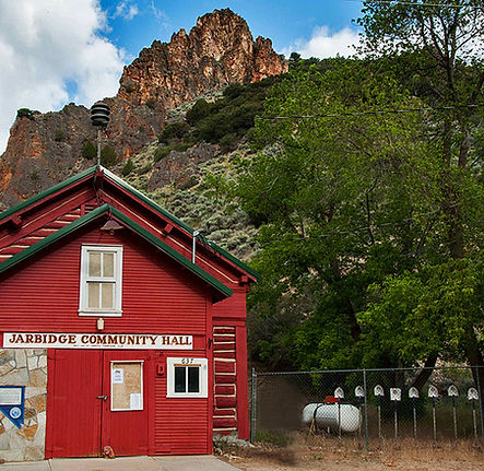
Tuscarora, Owyhee, Jarbidge to Rogerson, Idaho
Total Mileage: 243.5
Lamoille Canyon National Scenic Byway
Lamoille to Ruby Trailhead
Total Mileage: 32.8


RECENT UPDATES
.png)
ADDED - Hunter Creek Reservoir
Hunter Creek Falls - Mt. Rose Wilderness
Reno Riverwalk
Peavine Ponds
Fisherman's Park
- 274 - Nevada State Hospital
Wunatoo Ponds
* Pyramid Lake *
Sandhole Beach
"The Nets"
Pelican & Windless Beach
Warrior Point
Monument Rock, Photo Spot
Surprise Valley Road
- 26 - Forty Mile Desert
Poker Brown Camp (Humboldt River)
Pioneer Monument (Humboldt River)
Treaty Hill Road (Humboldt River)
Izzenhood Reservoir
Carlin Tunnels, Best photography
Thomas Creek Trailhead
Thomas Canyon and Glacier
Jarbidge Wilderness Access (West Fork Jarbidge River)
Lamoille Presbyterian Church, Best photography
Ruby Crest Trailhead - Ruby Mountains Wilderness
Angel Lake Falls
Bonneville State Park
Bonneville Salt Flats, Best photography


