
Markers: 11

White Pine
Every map will reveal the spiderweb-like cartography of White Pine with Ely at its nucleus. US 6, US 50, and US 93 all converge then traverse away in different directions from this centerfold. Simply, White Pine beckons the adventurer. Ghost towning on an all-wheel-drive tumble to Hamilton and Treasure City or on foot via White Pine's spectacular wilderness areas. It's all the same to us. Choose a camp that's days away, or stay in a mainstream campground. Whether it's a remote nook and cranny like Goshute Canyon, Mt. Moriah, or any side canyon from the Schell Creeks or a close-to-home flavor: Cave Lake, or the Ward Charcoal Ovens? Answer the call!
.png)
See the description on the map below for each marker's locals' tips and tricks!

First off, there are no White Pines!
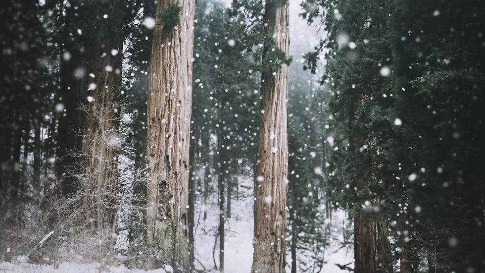
The term, "White Pine" was put to use when the "heavy growth of trees thought to be white pine" were actually limber pine found nestled high in the area's mountains. And it's with mountains we begin. Understanding White Pine is understanding off-beat terrain. Highs and lows and "valleys to mountains" have had more of a deciding factor for human growth here than anywhere else in Nevada. The Snake Range and Wheeler Peak are just a few visual tellers of the geologic history of the Great Basin. The Snakes are thought be to isolated blocks of the Rocky Mountains that house hundreds of Colorado plant species that end their retreat westward here among the range's forested slopes. In ranges like the Snakes or the Schell Creeks, geology has mixed together a giant soup bowl of some pretty sweet and foretelling topography!
It's called terrain. Terrain is why Ely (the population center of the region) is located in the shadow of three mountain ranges. Terrain is why copper, not gold or silver, has carried the county's economy for close to a century. Simultaneously there was plenty to persuade the arrival of tough men, cattle men, railroad men, and sportsmen - all who've had a tremendous impact on the terrain. Symbiosis. White Pine's deep defiles hid perennial streams in a land of little rain. These same watercourses allowed the establishment of small camps. The Egans, for example, form a solid barrier where elk, mule deer and mountain lion could find safe haven from the desert floors to the west. Terrain makes prime hunting ground as they did for ancient peoples thousands of years ago. Likewise, terrain equated a formula for the highs-and-lows of White Pine. "Low ground equals safe ground." The formula "safe ground" also meant a safe zone from the extremities of the high country. Instead of butt-kicking canyons and steep mountain passes flat terrain meant avenues for transportation and ideal opportunities for ranching, and ultimately, hanging up the hat. And well, White Pine County is a pretty place in its terrain.


With a total of 23, White Pine County has more wilderness areas than any other county in the state!
Founded: March 3, 1869
Size: 8,897 sq. mi.
Rank: 5th out of 17
Population: 9,700 (2022)
Rank: 10th out of 17
Density: 1 sq. mi.
Rank: 11th out of 17
Largest Community: Ely (4,047)
County Seat: Ely (4,047)
Highest Point: Wheeler Peak (13,063')
Known for ...
Great Basin National Park, Cave Lake State Park, Ward Charcoal Ovens State Historic Park, Kennecott Copper Era, Northern Nevada Railway "Ghost Train," Wilderness areas


